
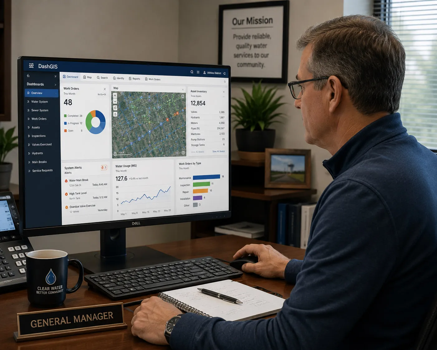
Practical Knowledge For People Who Keep Communities Running.
Helping General Managers, Boards, Public Works Directors, and Utility Professionals make better decisions through practical GIS guidance—not marketing hype.
The best GIS decisions begin long before software is purchased.
For nearly forty years, CALCAD has helped California's Special Districts and municipalities avoid costly mistakes, modernize operations, and build GIS systems that continue delivering value for years—not just until the next software upgrade.
This Resource Center shares that experience.
Whether you're just beginning your GIS journey or looking to improve an existing system, we hope these guides help you make informed decisions.
Featured Guides
Five Questions Every Board Should Ask Before Approving a GIS Purchase
A practical guide for elected officials and executive management to help evaluate GIS proposals based on long-term value rather than marketing claims.
Download The Guide (PDF) →The Hidden Costs of GIS
Seven expenses many software proposals never mention—and how to recognize them before signing a contract.
Download The Guide (PDF) →The General Manager's Guide to GIS
A practical introduction explaining what General Managers should expect from a modern GIS and how to measure success.
Download The Guide (PDF) →Planning Your First GIS
A step-by-step roadmap for agencies beginning their first enterprise GIS implementation.
Download The Guide (PDF) →Recovering From A Failed GIS Project
How to evaluate existing investments, preserve valuable data, and get back on track.
Download The Guide (PDF) →Selecting GIS Software Without Regret
A vendor-neutral checklist to help agencies compare solutions based on operational needs instead of product marketing.
Download The Guide (PDF) →Popular Articles
Why Most GIS Projects Take Too Long
Many delays have little to do with technology.
Read The Article (PDF) →Why Your GIS Shouldn't Depend On One Employee
Protecting institutional knowledge.
Read The Article (PDF) →The Difference Between Buying Software And Building A GIS
Hint: They aren't the same thing.
Why Smaller Utilities Need A Different GIS Strategy
Enterprise capability doesn't require enterprise complexity.
Seven Warning Signs Of A GIS Vendor
Questions every agency should ask.
Why Data Quality Matters More Than Fancy Software
Reliable decisions begin with reliable information.
When Should You Replace Your GIS?
Five signs your current system may be holding your agency back.
How To Explain GIS To Your Board
Speaking the language of governance—not technology.
Frequently Asked Questions
What does a modern GIS actually cost?
In most cases, significantly less than it did years ago. Today's web-based GIS solutions eliminate many of the costs associated with desktop software, dedicated hardware, and maintaining multiple copies of the same data. Because everyone works from a single, current source of information, agencies also reduce the time and errors caused by outdated data.
Another important consideration is pricing. Many GIS vendors charge on a per-user basis, making it difficult to predict future costs as more employees begin using GIS. CALCAD offers agency-wide pricing, allowing every department to benefit from GIS without increasing your monthly subscription.
We also avoid annual maintenance charges on custom applications and extensions. For example, our integrated CMMS requires a one-time implementation fee rather than recurring annual maintenance, which can save agencies tens of thousands of dollars over the life of the system.
How long does it take to implement a GIS?
Every project is different, but our decades of experience working with GIS, CAD, databases, and utility data allow us to complete many implementations in weeks rather than months or years.
Just as important, work begins shortly after the project starts. Our clients aren't left waiting months before seeing progress. Whether your agency is large or small, your project receives the same attention and commitment.
Do we need a full-time GIS employee?
Not necessarily.
Some agencies maintain an in-house GIS professional. Others rely entirely on CALCAD. Many choose a combination of both, using their own staff for day-to-day activities while turning to CALCAD for specialized projects, overflow work, system administration, or long-term support.
Our goal is to provide the level of assistance that best fits your organization.
Can we keep the GIS data we already have?
Absolutely.
Your GIS data belongs to your agency. CALCAD has always believed that clients should own and control their data. We work with your existing information, improve it when necessary, and never hold it hostage.
Can DashGIS™ connect to our billing system?
Most likely, yes.
Over the years we've integrated DashGIS™ with dozens of billing systems running both on-premises and in the cloud. We have consistently been able to provide an integration that meets our clients' operational needs.
How much training will our staff need?
DashGIS™ was designed to be intuitive.
Whether someone is new to GIS or an experienced professional, most users become comfortable with the system within a day or two. Because everyday users cannot accidentally damage the underlying GIS, they can confidently explore the application and quickly become productive.
Can field crews use DashGIS™?
Yes.
DashGIS™ is a web-based application that works anywhere an Internet connection is available. Office staff, inspectors, operators, and field crews can securely access the same up-to-date information from Apple, Android, or Windows devices without installing specialized software.
What happens if our GIS specialist retires or leaves?
Your GIS doesn't have to leave with them.
CALCAD can provide temporary support during a staffing transition or become your long-term GIS partner. Many agencies rely on us to preserve continuity, maintain institutional knowledge, and keep projects moving forward regardless of personnel changes.
Can DashGIS™ use our existing ESRI data?
Yes.
DashGIS™ works with ESRI data as well as many other industry-standard GIS and database formats. In fact, it supports more than 150 spatial data formats, allowing agencies to preserve their existing investment while choosing the GIS platform that best meets their needs.
Can we implement GIS in phases?
Absolutely—and for many agencies, it's the preferred approach.
A phased implementation allows your organization to begin realizing benefits sooner while reducing project risk. It also provides the flexibility to adjust priorities as your understanding of the data and operational needs evolves. By building the system in logical stages, agencies establish a solid foundation that can support growth for many years to come.
GIS Without The Complexity
Receive practical articles once each month. No sales pressure. Just useful information for utility leaders.
Knowledge Is Only Valuable If You Can Use It.
Whether you download one guide or partner with CALCAD for decades, our mission remains the same.
To help public agencies make better decisions through practical technology, honest advice, and dependable service.
If you have questions that aren't answered here, we'd be happy to talk.