
Autodesk Software.
Backed By Nearly Four Decades Of Public Agency Experience.
Since 1989, CALCAD has been helping government agencies select, license, implement, and support Autodesk software.
As an Authorized Autodesk Government Reseller, we help agencies procure the right Autodesk products while providing the consulting, GIS expertise, and implementation support that turn software into successful projects.
Why Buy Autodesk From CALCAD?
Most software resellers simply process orders. CALCAD helps agencies succeed.
When you work with CALCAD, you gain a partner with decades of experience in CAD, GIS, infrastructure management, and public agency operations. That means:
- Guidance selecting the right Autodesk products
- Assistance with licensing
- Technical support
- CAD-to-GIS workflows
- GIS integration
CALCAD Manages Infrastructure Information From Design Through Daily Operations.
- Planning
- As-Built Drawings
- CAD Data
- GIS Conversion
- Asset Management
- Maintenance
- Capital Planning
Infrastructure Doesn't Begin In GIS. It Begins In CAD.
Nearly every utility asset starts life as an engineering drawing.
The challenge isn't creating CAD drawings. The challenge is transforming those drawings into accurate GIS data that supports operations for decades. That is one of CALCAD's core strengths.
Turning Engineering Drawings Into Operational Intelligence.
Engineering drawings are invaluable. But CAD and GIS serve different purposes.
“How should we build it?”
“How do we manage it?”
For decades CALCAD has helped agencies convert engineering drawings into enterprise GIS databases that support operations, maintenance, emergency response, and long-term planning.
- CAD Drawing
- Feature Extraction
- Attribute Creation
- Topology
- QA/QC
- GIS Database
- DashGIS™
Autodesk Products
AutoCAD
Industry-leading drafting and documentation.
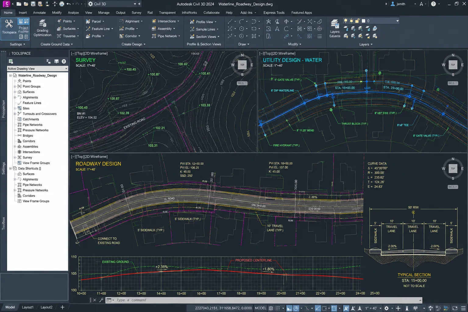
Civil 3D
Civil engineering and infrastructure design.
AutoCAD Map 3D
GIS and mapping workflows.
AEC Collection
A comprehensive collection of Autodesk tools for architecture, engineering, and construction.
Revit
BIM software to design and make anything.
InfraWorks
Model building and infrastructure design concepts with real-world context.
Why Agencies Work With CALCAD
Buying software is easy. Successfully implementing it is the hard part.
CALCAD helps agencies bridge the gap between engineering, GIS, and daily operations.
From CAD standards and licensing to GIS implementation and long-term support, we help ensure your technology investment delivers lasting value.
Need Autodesk Software?
Or Need Help Making Better Use Of It?
Contact us to make sure you get the best Government Pricing available.