
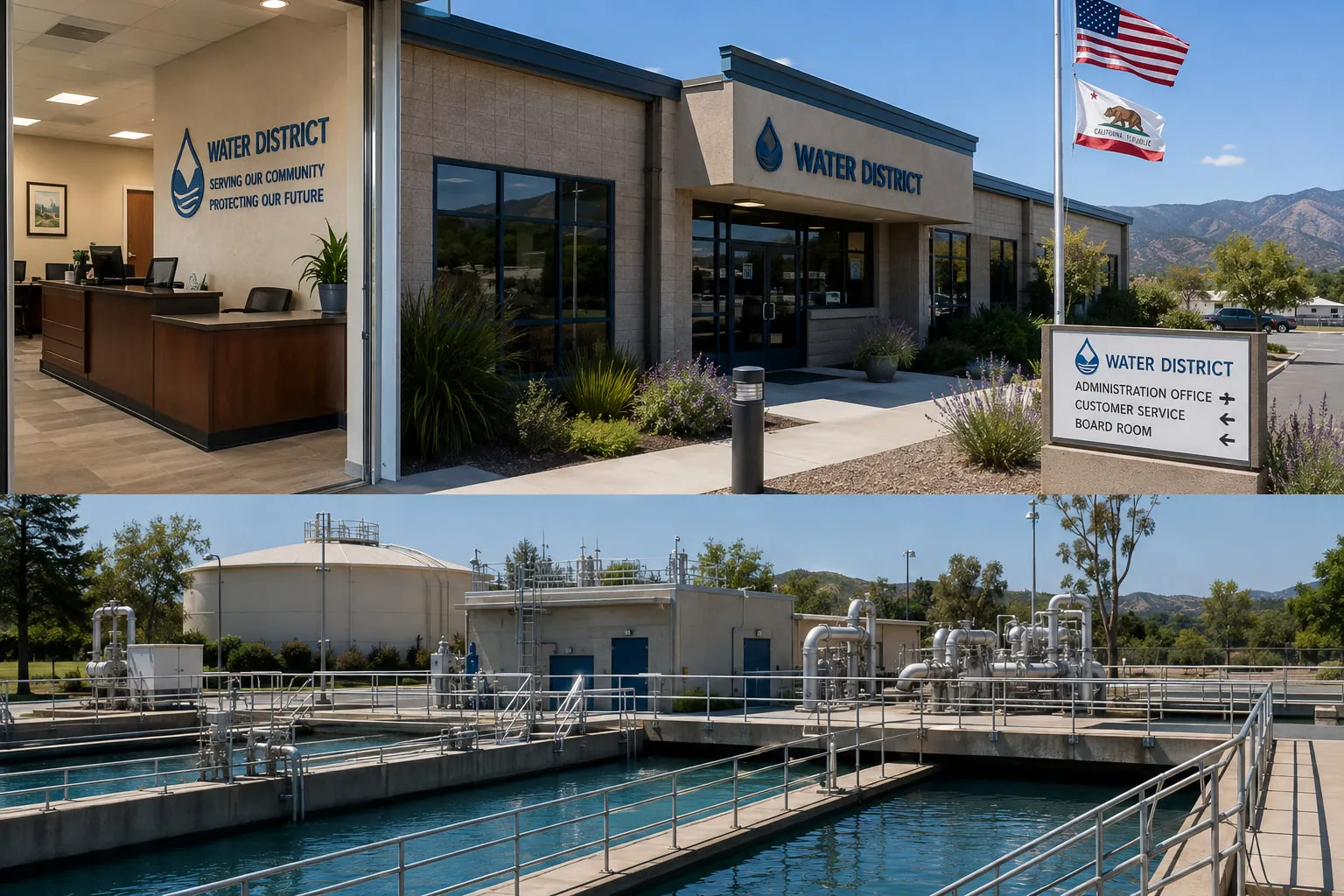
The people responsible for keeping communities running rarely receive recognition when everything works. They only receive attention when something goes wrong.
CALCAD exists to help those professionals succeed.
Whether you're responsible for drinking water, wastewater collection, stormwater management, streets, parks, or public infrastructure, our mission remains the same.
To provide practical technology, honest advice, dependable service, and the confidence that comes from knowing your information is accurate when you need it most.
Built For The Agencies That Keep California Running
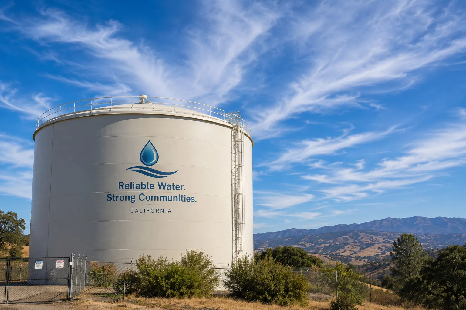
Water Doesn't Stop Flowing.
Neither Can Your Operations.
Managing a water system means far more than locating pipes on a map. It means having confidence the specifics about your infrastructure.
CALCAD helps water districts turn GIS into an operational decision-making system. Not simply a mapping application.
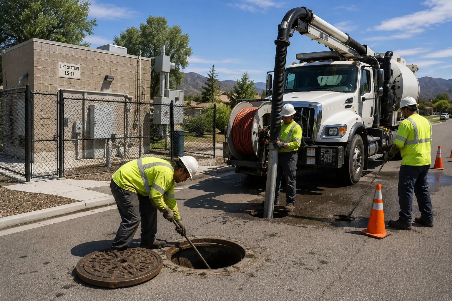
Every Foot Of Sewer Line Matters.
From lift stations to manholes, collection systems require constant attention.
Our GIS solutions help districts manage inspections, maintenance, CCTV records, work orders, tracing, reporting, and capital planning—all from one reliable source of information.
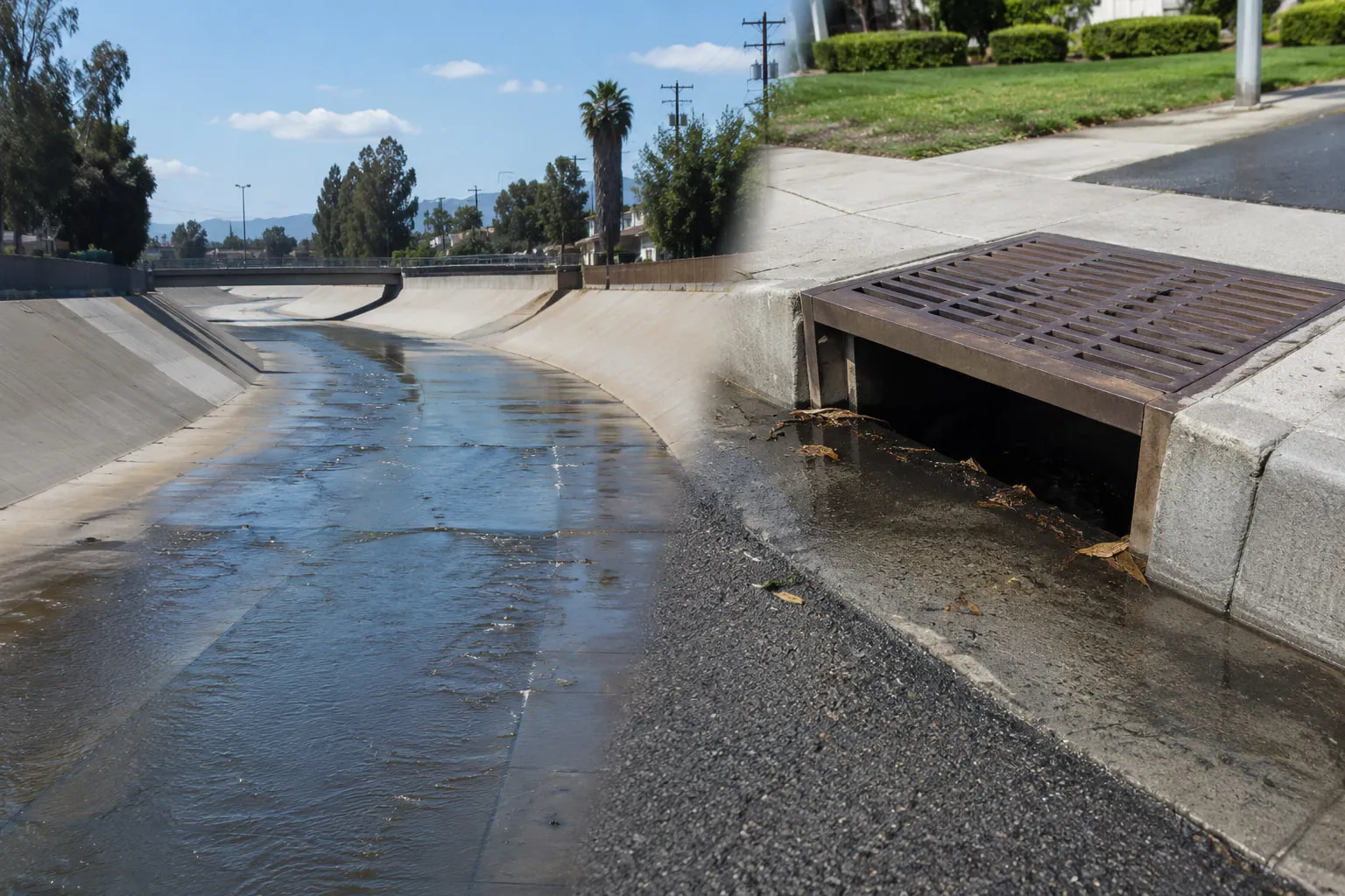
Stormwater Systems Are Often Invisible…
Until They Fail.
We help agencies inventory, inspect, maintain, and analyze stormwater infrastructure before problems become emergencies.
Small Agency. Big Responsibility.
Community Services Districts often provide multiple services with limited staff and limited budgets.
You need practical tools—not enterprise complexity. That's exactly why CALCAD was founded.
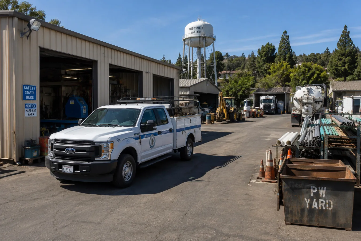
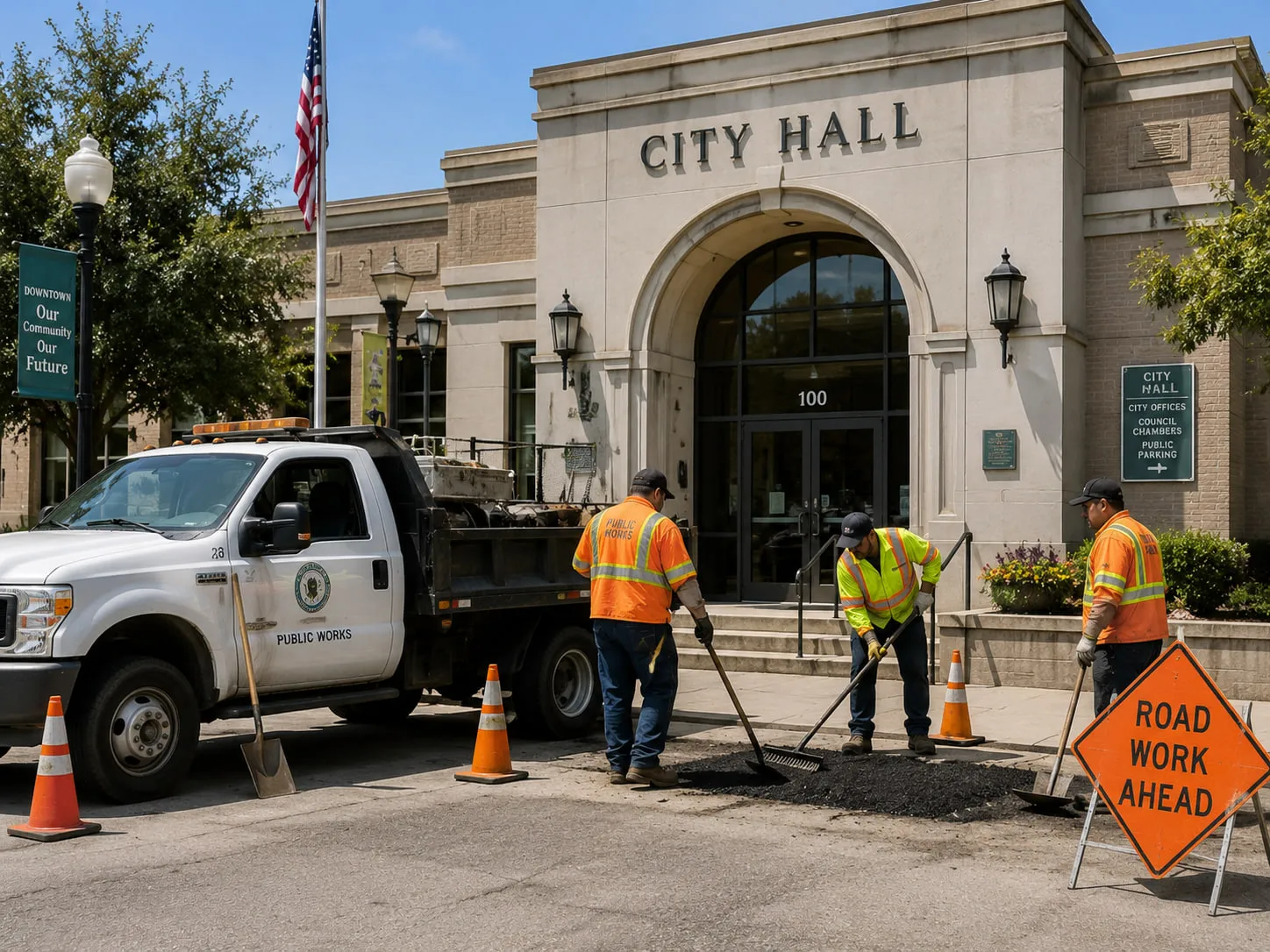
Your Citizens Expect Everything To Work.
Public Works departments manage thousands of assets spread across every neighborhood.
GIS should connect them—not create another information silo.
Design Tomorrow's Infrastructure On Accurate Information.
CALCAD provides GIS data creation, migration, integration, and specialized applications that help engineering firms deliver projects faster and with greater confidence.

Different Agencies.
Different Priorities.
Same Philosophy.
Every organization has different priorities. Some need better data. Some need better reporting. Some need work order integration. Some simply need someone they can trust.
Rather than forcing every client into the same software model, CALCAD starts by asking one question.
“What problem are we trying to solve?”
The answer guides everything that follows.
You shouldn't have to buy software designed for a city of one million people just because you serve ten thousand.
Large metropolitan agencies often have dedicated GIS departments, database administrators, application developers, and large consulting budgets.
Most Special Districts don't.
That doesn't mean they deserve fewer capabilities. It means they deserve solutions designed around their resources.
For nearly forty years, CALCAD has filled that need.
It's All About Workflows,
Not Software.
Everything below is an operational activity—not a software feature.
Let's Talk About Your Agency
Every utility is different. Every community is different. Your GIS should reflect that.
Let's discuss your goals, your challenges, and how CALCAD can help your organization operate with greater confidence.