Enterprise GIS Built For Utilities.
Powerful enough for complex infrastructure. Simple enough for everyone to use.
For nearly four decades, CALCAD has helped water districts, wastewater agencies, stormwater agencies, and municipalities solve real-world GIS challenges.
DashGIS™ brings that experience together in a modern, web-based GIS platform designed specifically for the way public agencies operate.
Because Utilities Need More Than A Map.
Traditional GIS projects often become:
- Expensive
- Complicated
- Difficult to maintain
- Dependent on specialized staff
DashGIS™ was built differently. It provides the tools agencies need to manage infrastructure, support field operations, and make better decisions—without unnecessary complexity.
Enterprise GIS Without Enterprise Costs
One subscription. Unlimited users. No per-user licensing. No surprise fees for additional users.
Built Around Utility Operations
Manage assets. Support maintenance. Improve response. Give employees the information they need.
Technology Backed By Experience
DashGIS™ isn't just software. It is supported by CALCAD's nearly 40 years of GIS experience.
Everything Your Agency Needs In One GIS Platform
Asset Management
Know what you own. Where it is. Its history. Its condition.
Field Operations
Give crews access to accurate information wherever work happens.
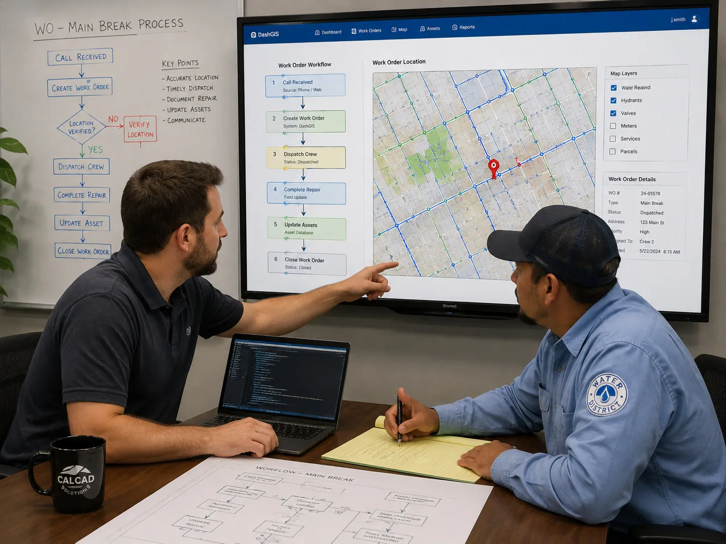
Work Orders & CMMS
Track maintenance activities, assignments, completion, and performance.
Utility Analysis
Understand systems before making decisions. Valve isolation. Flow tracing. Infrastructure analysis.
Dashboards & Reporting
Turn GIS information into management decisions.
Data Integration
Connect GIS with the systems you already use.
Designed For The People Who Depend On It
General Managers
Get visibility into operations without needing to become GIS experts.
Operations Staff
Find information quickly and improve daily workflows.
GIS Professionals
Powerful tools without unnecessary complexity.
Built For The Real World
DashGIS™ is built on open standards and designed to work with the data and systems agencies already use.
- Industry-standard GIS formats
- Existing databases
- Web services
- Legacy GIS data
- Enterprise systems
Why Agencies Choose DashGIS™
Other GIS Approaches
- Large upfront investment
- Complex implementations
- Specialized training requirements
- Additional software costs
- Long deployment timelines
DashGIS™
- Rapid implementation
- Unlimited users
- Utility-focused tools
- Practical pricing
- Supported by GIS experts
Customer Results
From Google Earth To Enterprise GIS
A Community Services District moved from basic mapping to a full operational GIS in weeks.
Read Story →A GIS Project Saved
After previous attempts failed, CALCAD delivered a complex GIS integration under a critical deadline.
Read Story →Better Decisions Through Better Data
Agencies use DashGIS™ every day to understand infrastructure and improve operations.
Read Story →Frequently Asked Questions
How long does implementation take?
Many DashGIS™ implementations can be completed in weeks rather than years.
How many users can access DashGIS™?
DashGIS™ is designed for organization-wide use without per-user charges.
Do we need GIS experts?
No. DashGIS™ was designed for agencies that need powerful GIS without building a large GIS department.
Can DashGIS™ use our existing data?
Yes. CALCAD specializes in integrating existing GIS, CAD, database, and operational information.
Can DashGIS™ replace our current GIS?
That depends on your goals and existing environment. CALCAD will help evaluate the best approach for your agency.
Your GIS Should Help Run Your Agency.
Not Become Another Project To Manage.
See how DashGIS™ can help your organization improve operations, reduce complexity, and make better decisions.